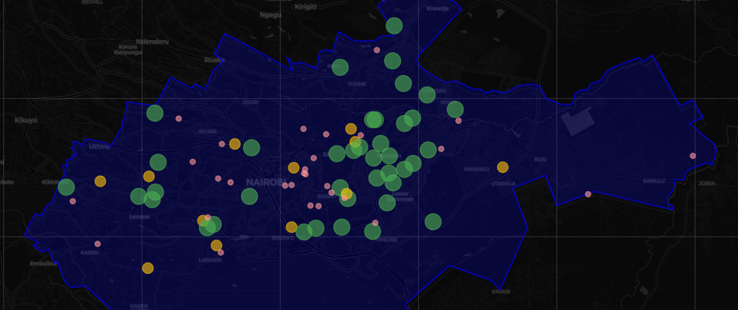
A web-based dashboard that integrates with new and existing GIS data on natural resources and infrastructure. The web-based platform provides for cross-platform data aggregation, visualization and analysis of GIS data
Portal Overview
Key Innovations
• Hybrid Data Integration: Seamless connection between collection and GIS analytics
• Multi-Tier Validation: AI-powered anomaly detection with human-in-the-loop verification
• Hierarchical Spatial Aggregation: Automatic roll-up from sub-catchment-basin-national levels
• Real-Time Compliance Monitoring: Automated alerts when parameters exceed relevant thresholds
• Adaptive Mobile Interface: Progressive Web App (PWA) that works offline and on low-bandwidth connections
Portal Features
Industry-standard open-source geospatial database with robust spatial indexing
Batteries-included framework with native GIS support and excellent ecosystem
High-performance vector mapping with responsive, component-based UI
Open-source standard for offline field data collection
Proven libraries for anomaly detection and predictive modeling
Asynchronous processing for webhooks and heavy calculations
Portable, reproducible deployment on WRA infrastructure
Great for you